
Research / Featured research
Vision-Based Navigation and Manipulation
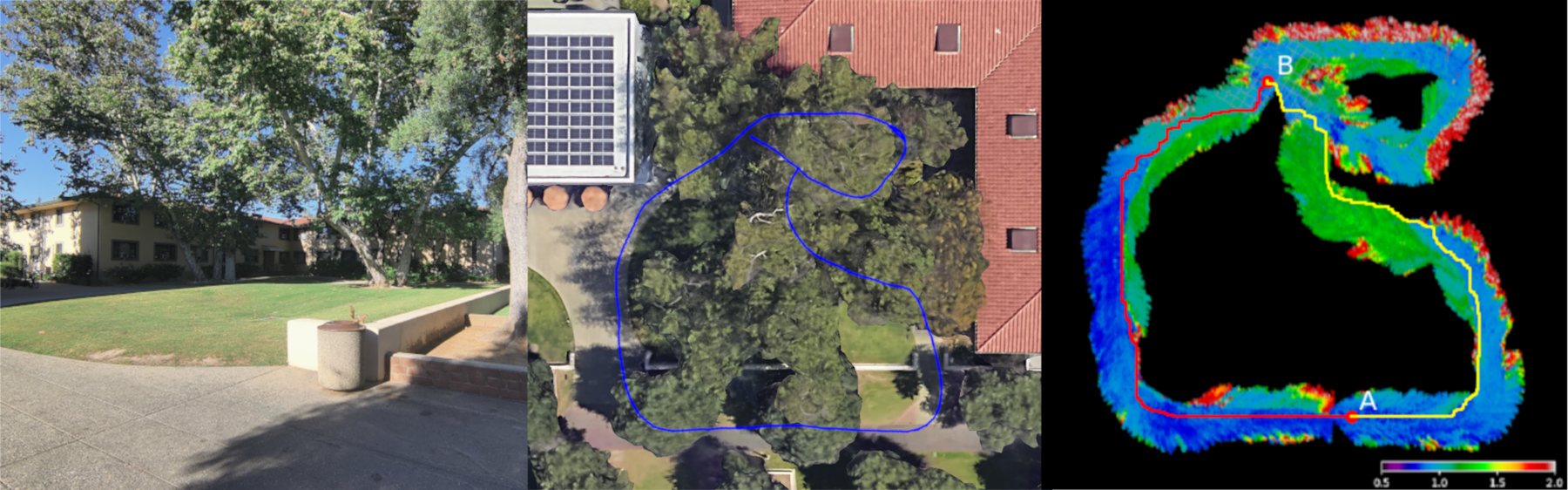
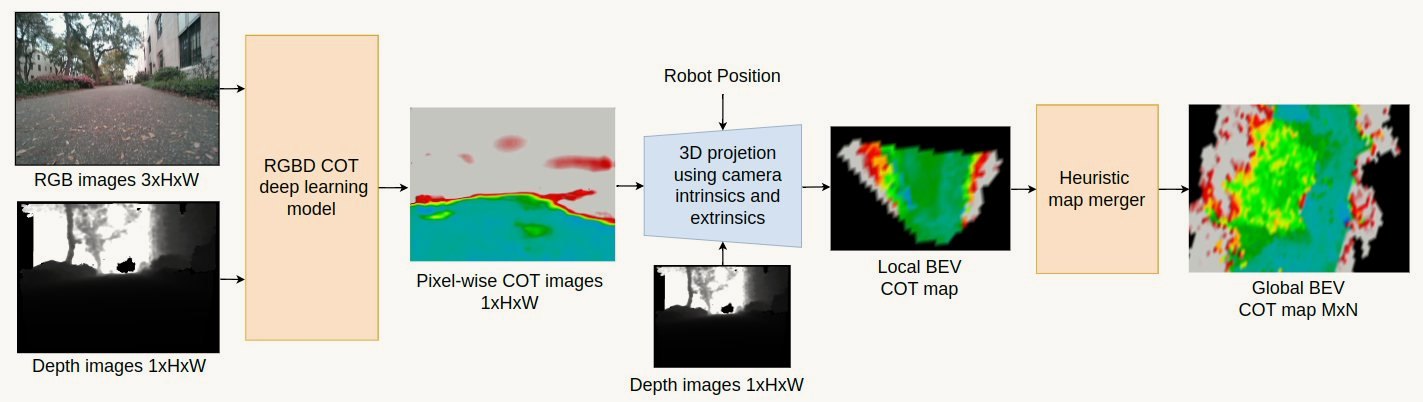
Perception that informs physical decisions. A robot with several ways to move should choose its route by what it will cost, not only by whether it is passable. We learn from camera images alone, and without human labels, how much energy the terrain ahead will demand, and plan with it.
Self-supervised cost of transport estimation for multimodal path planning
Which way costs the least energy? From camera images alone, the multimodal M4 robot learns to predict the cost of transport of the terrain ahead, labelling its own training data as it drives and running the whole pipeline onboard a Jetson Orin Nano.
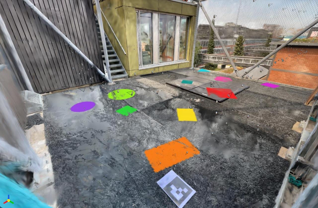
Vision-language-action models for drone navigation in synthetic environments
Can a drone be told where to fly in plain language? We rebuild real flight spaces as synthetic Gaussian splat environments — the DroneHub at NEST, and the flight arena at LSR — and fly a drone through them in simulation under an expert model-predictive controller running acados. Those expert flights then train vision-language-action models such as π0, fine-tuned with imitation learning, until the policy reaches a target named in a prompt from camera images alone. The aim is to carry the same scene understanding from navigation into aerial manipulation. The work began as a semester project.
More research Ground-Aerial Morphing Robotics · Learning-Based Control · Fluid-Body Interaction and Flow Control